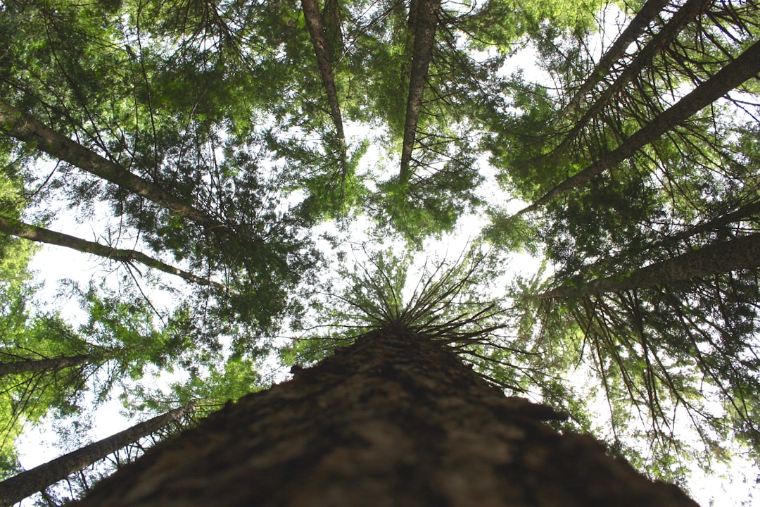
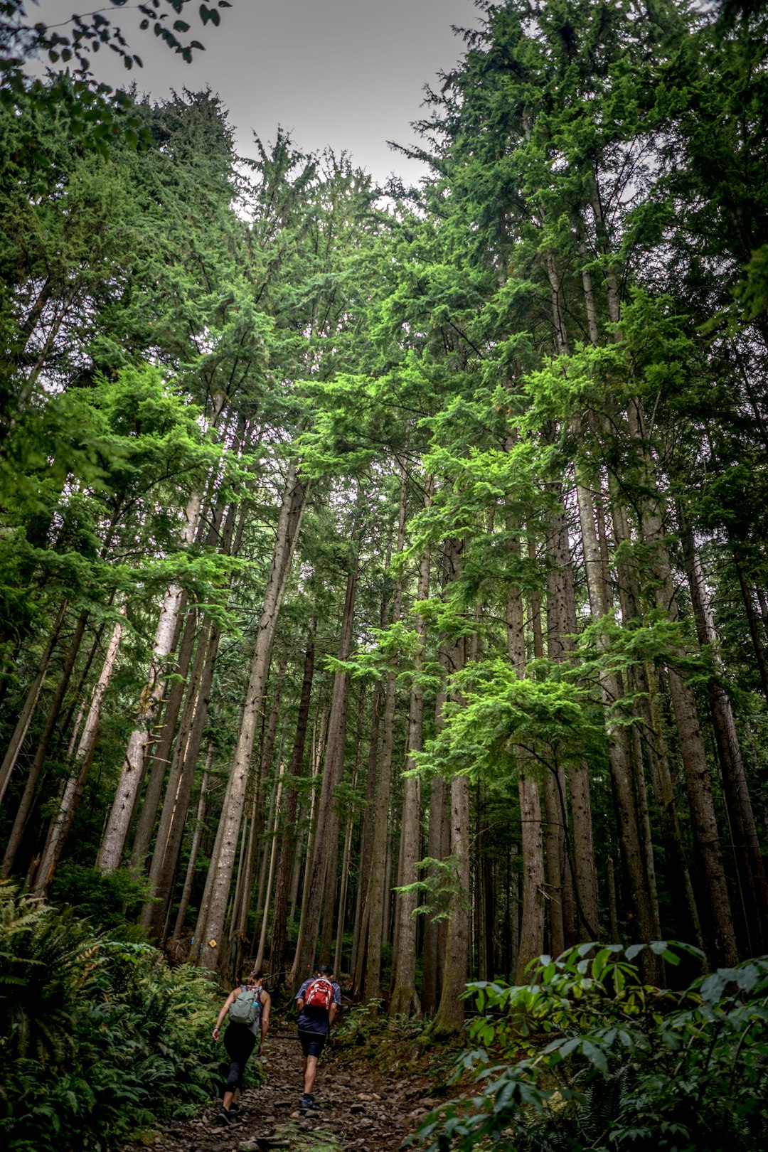
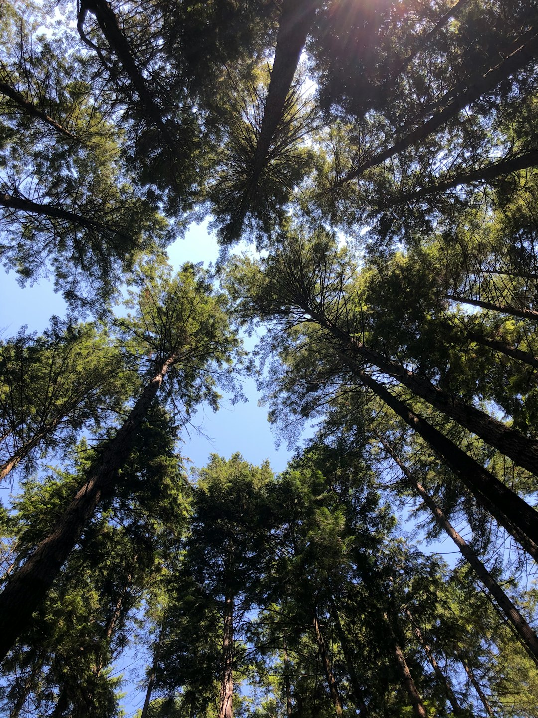
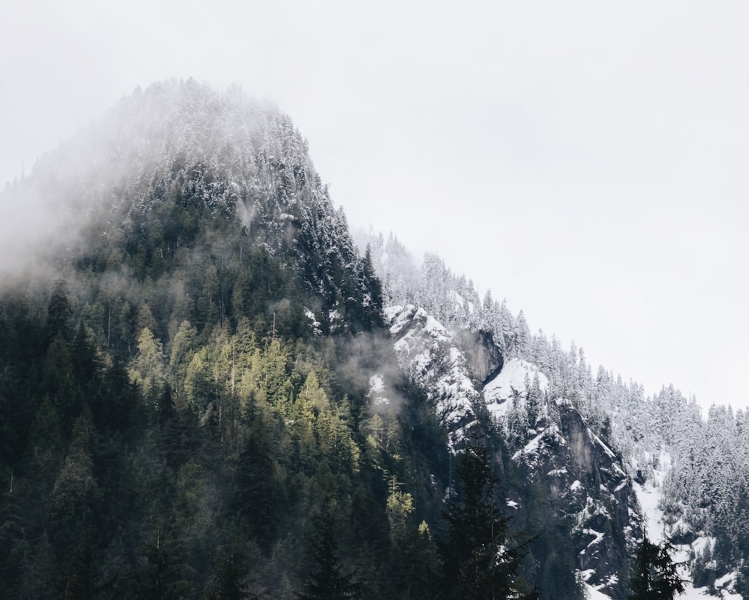
The Best Forest Photo Spots around Horseshoe Bay Ferry Terminal in Canada
Explore Forest pictures of Horseshoe Bay Ferry Terminal with the travel spots on a map
Download the Travel Map of Canada on Google Maps here
21 Forest Spots of Horseshoe Bay Ferry Terminal on a Map
Pictures of Forest on the interacive map of Horseshoe Bay Ferry Terminal
Download On Google Maps 🗺️📲Forest Spots and Pictures around Horseshoe Bay Ferry Terminal
Discover popular destinations in Horseshoe Bay Ferry Terminal with their travel guides
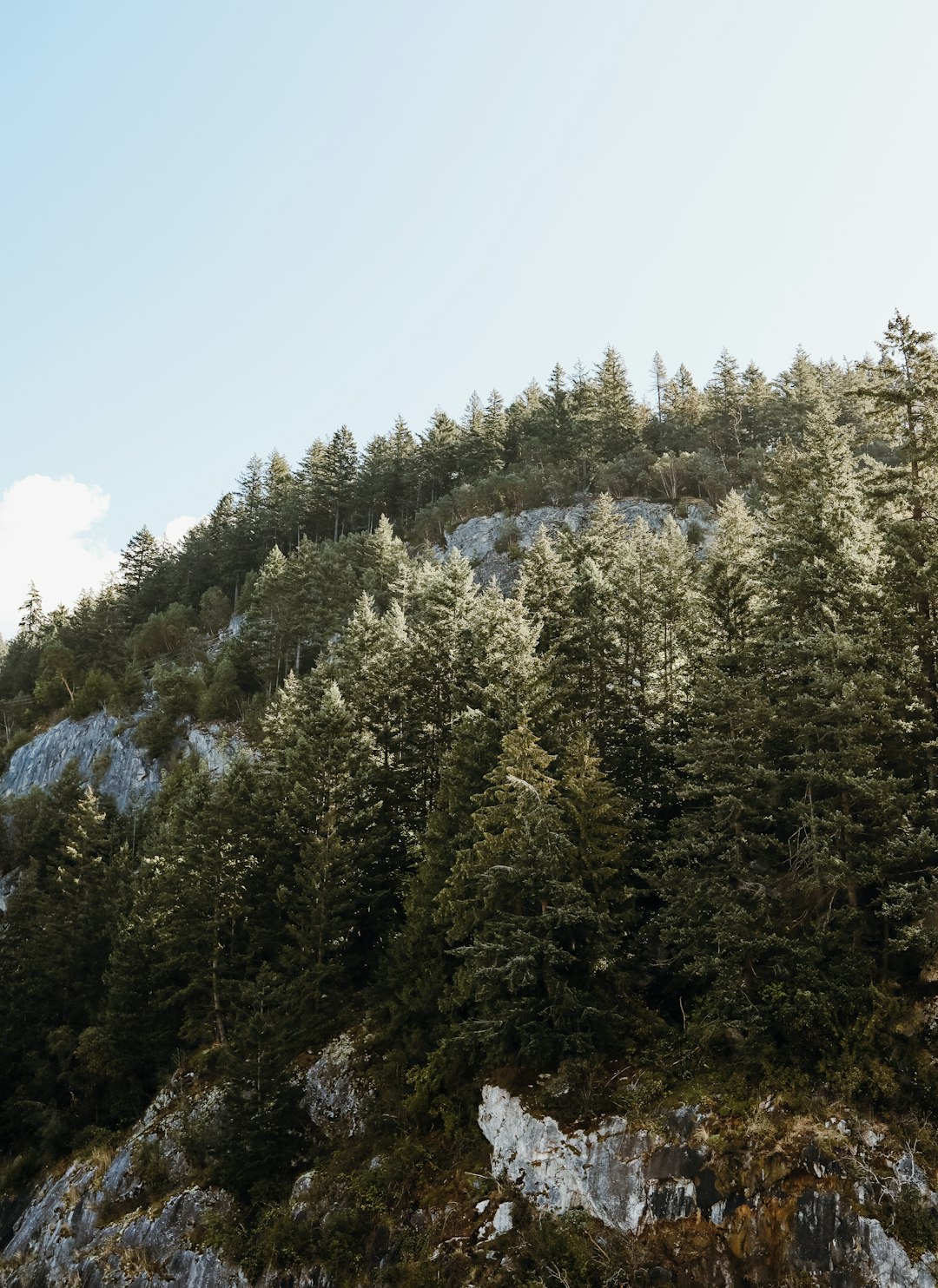
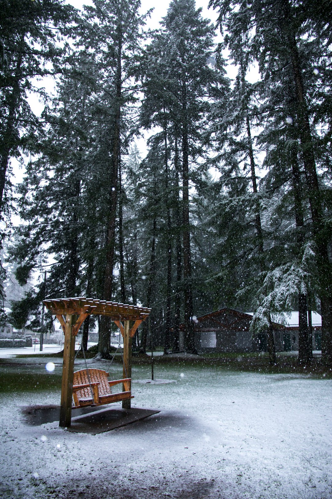
Horseshoe Bay Ferry Terminal
Read the Travel guide View on Google Maps
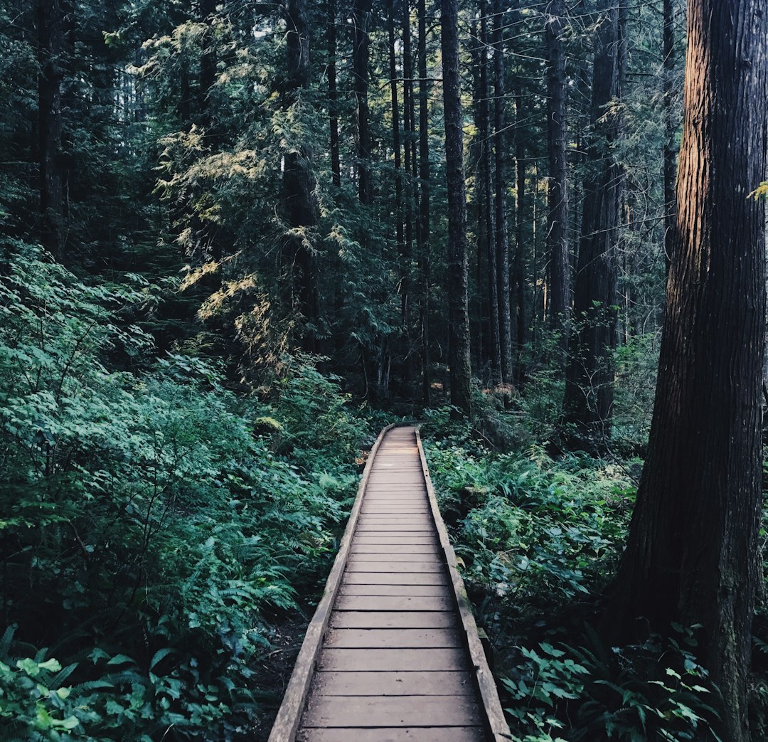
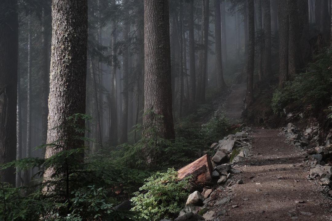
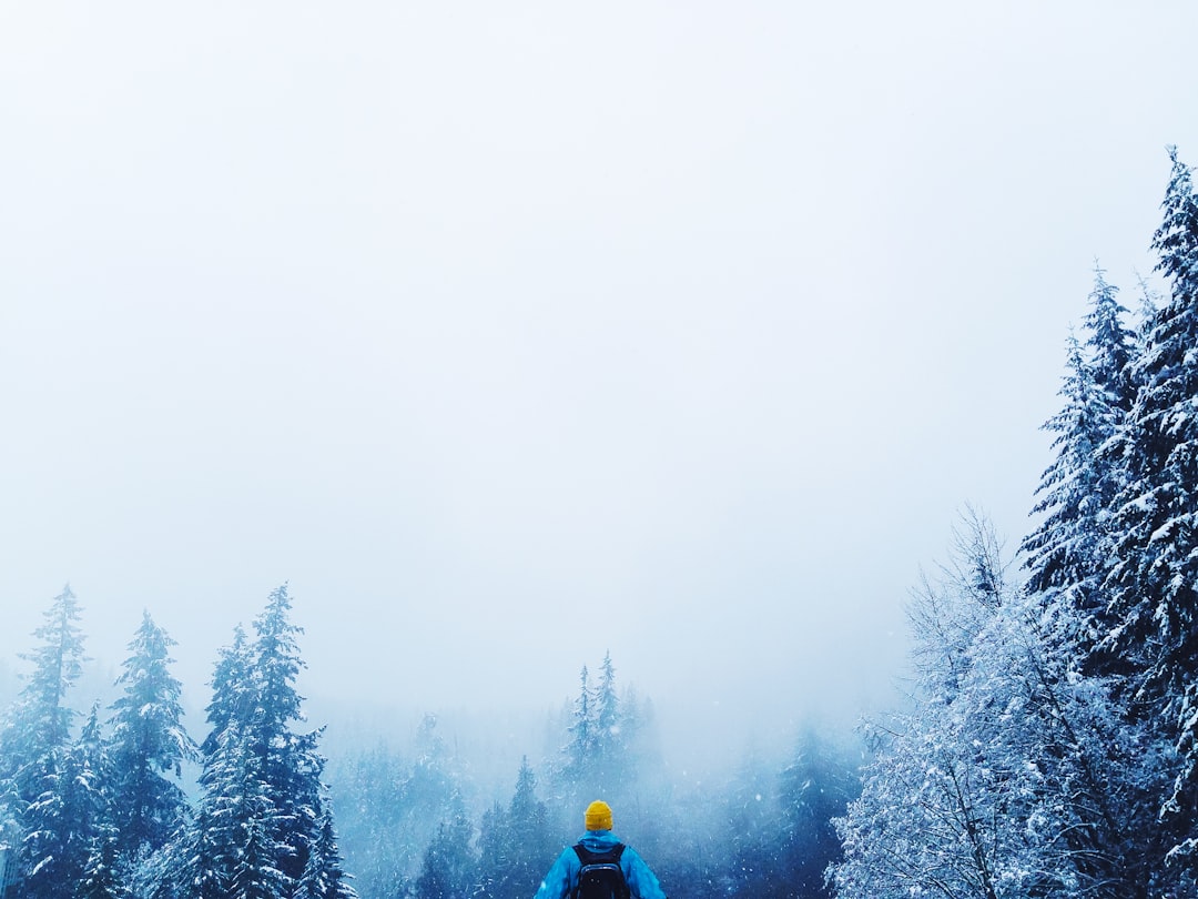
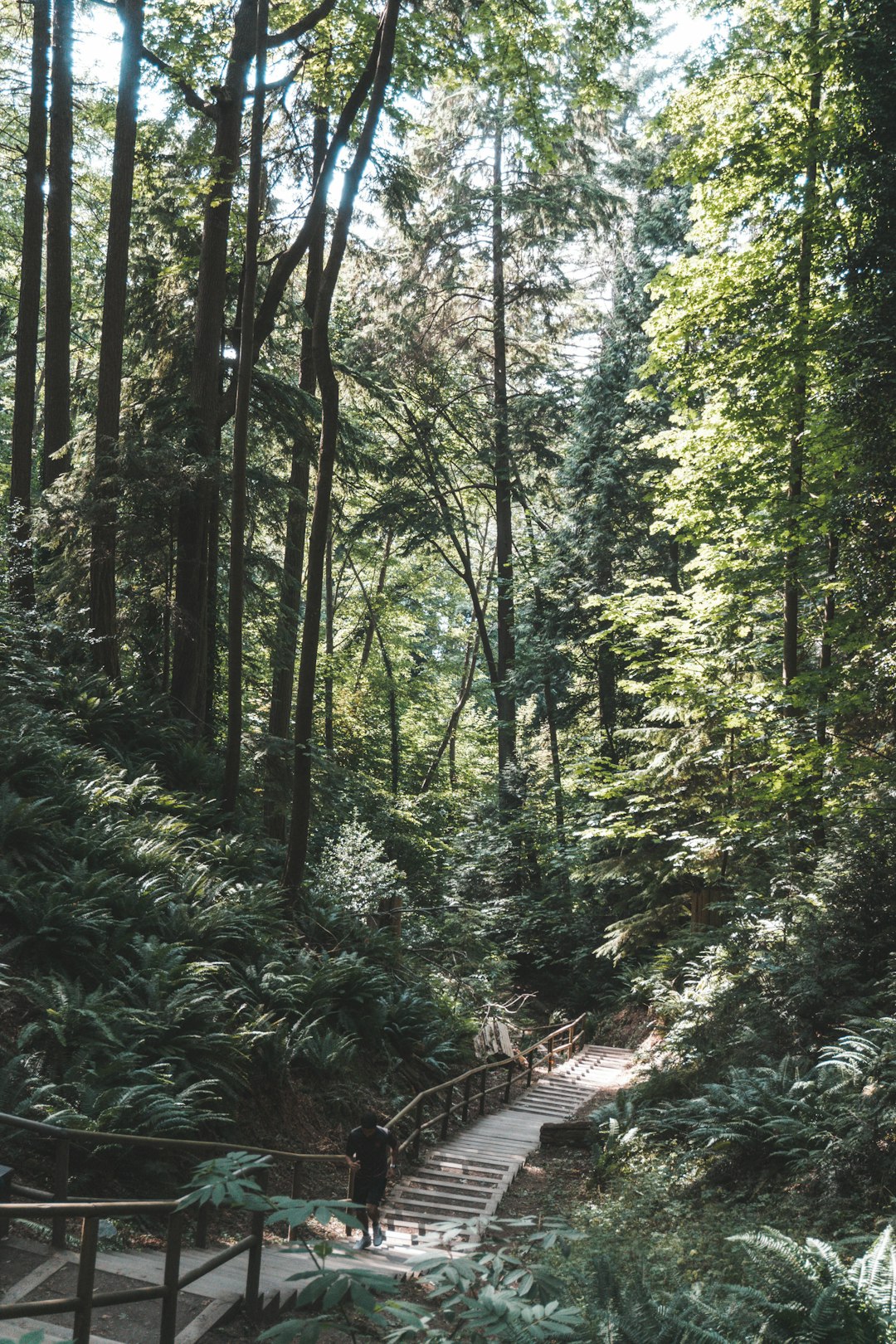
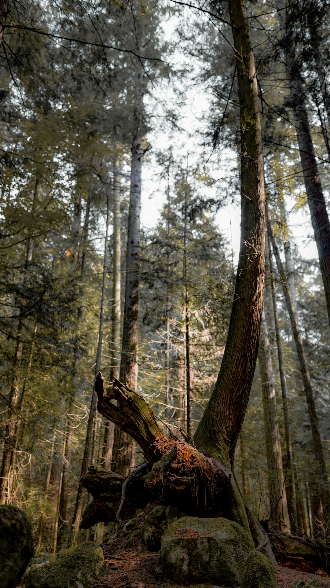
Whyte Lake Trail
1 km away from Horseshoe Bay Ferry Terminal
Read the Travel guide View on Google Maps
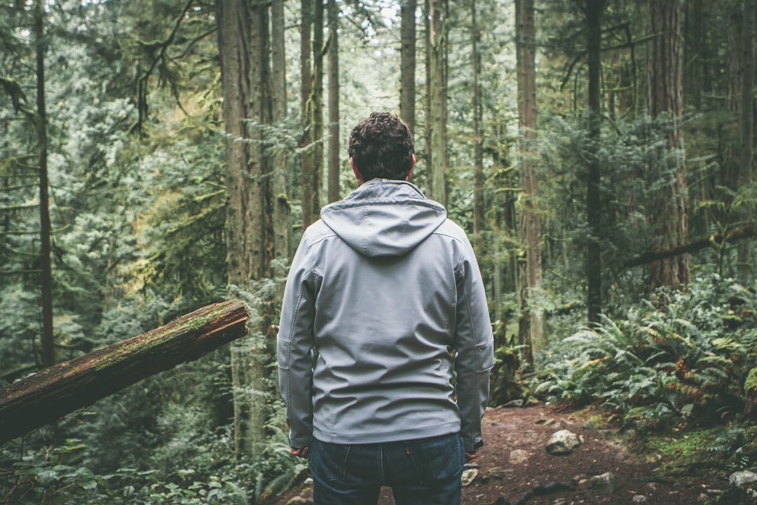
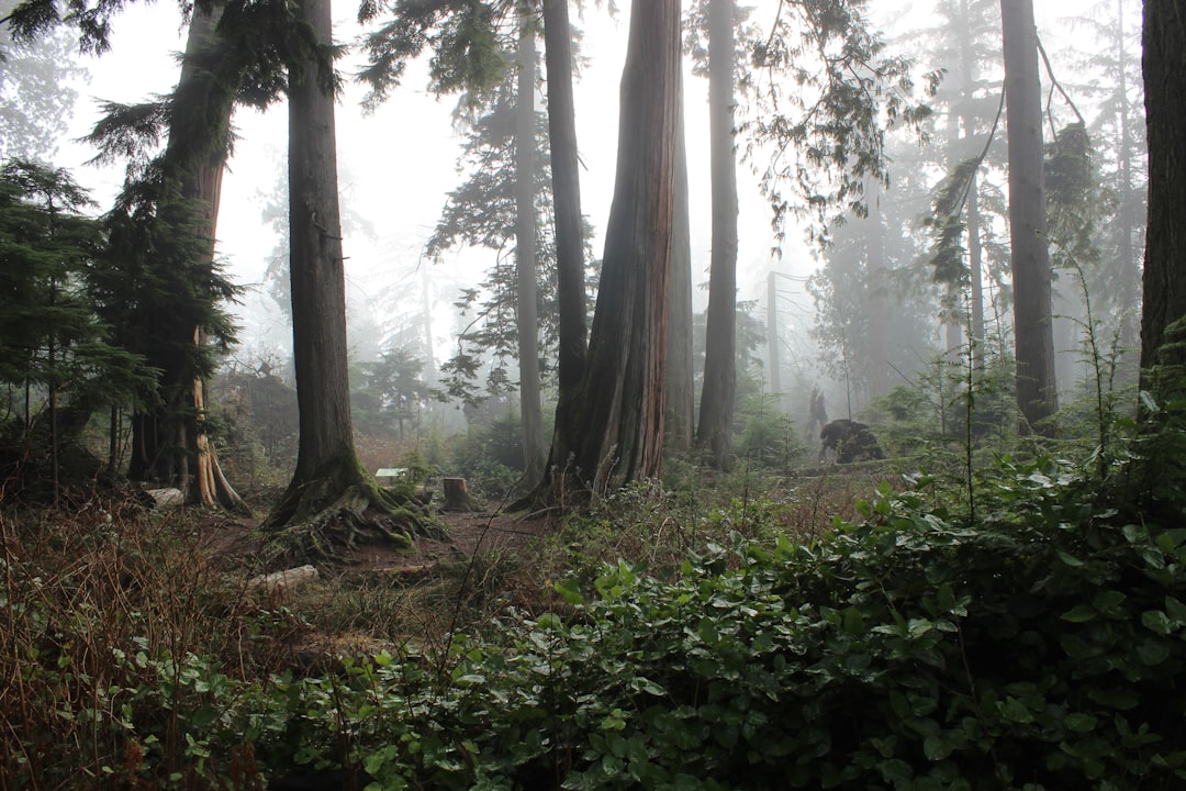
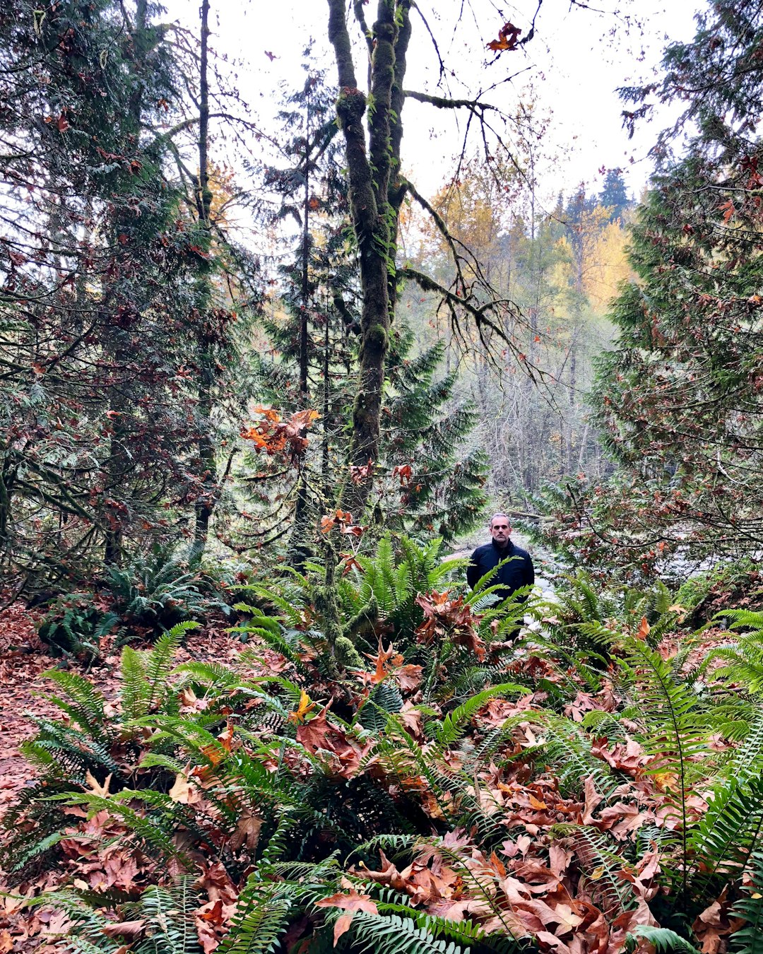
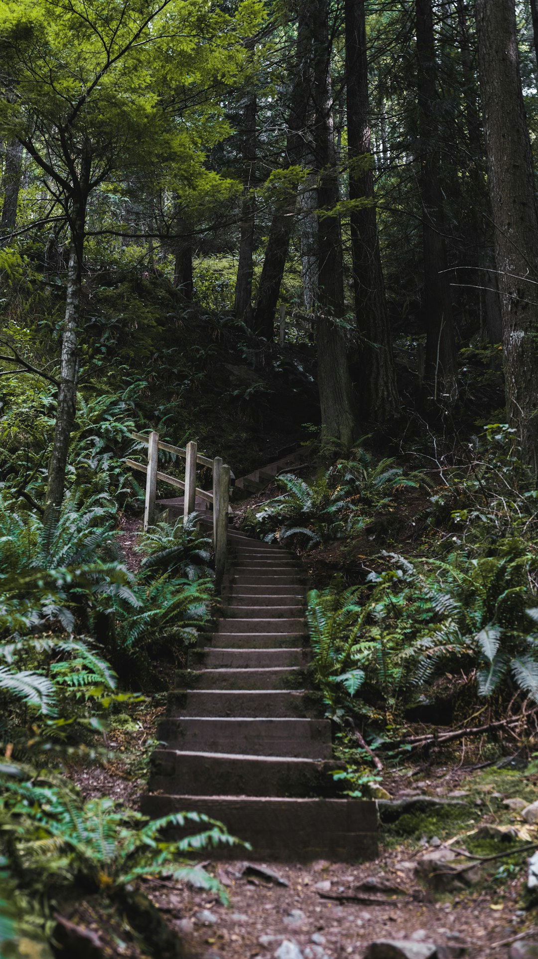
Cypress Falls Park
3 km away from Horseshoe Bay Ferry Terminal
Read the Travel guide View on Google Maps
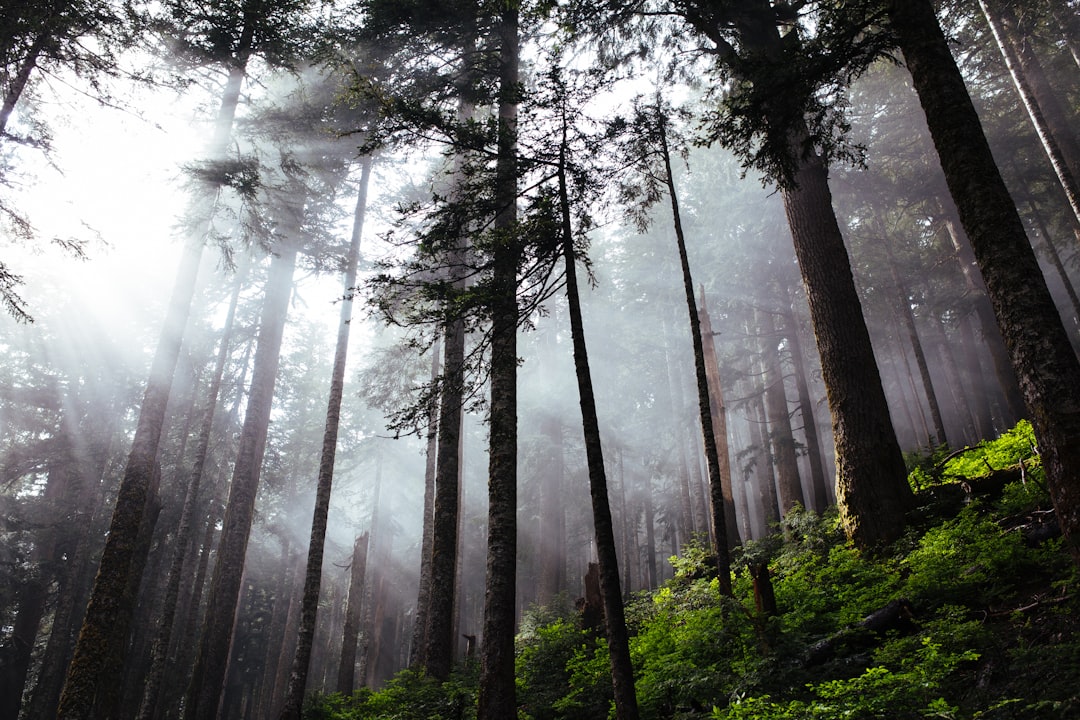
Cypress Mountain
6 km away from Horseshoe Bay Ferry Terminal
Read the Travel guide View on Google Maps
Howe Sound Crest Trail
7 km away from Horseshoe Bay Ferry Terminal
Read the Travel guide View on Google Maps
West Vancouver
10 km away from Horseshoe Bay Ferry Terminal
Read the Travel guide View on Google Maps
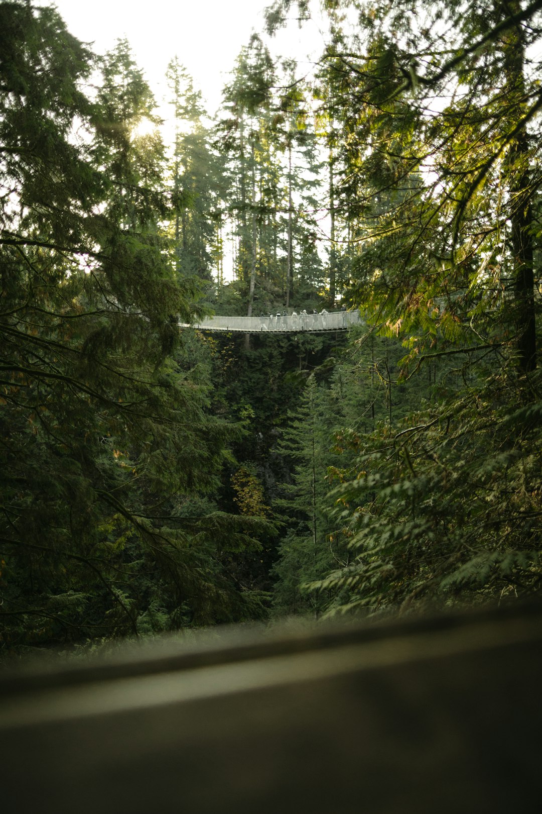
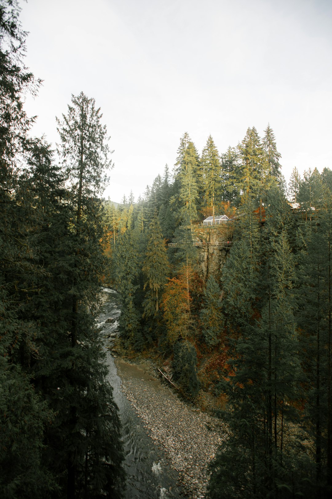
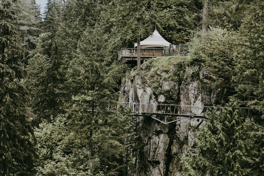
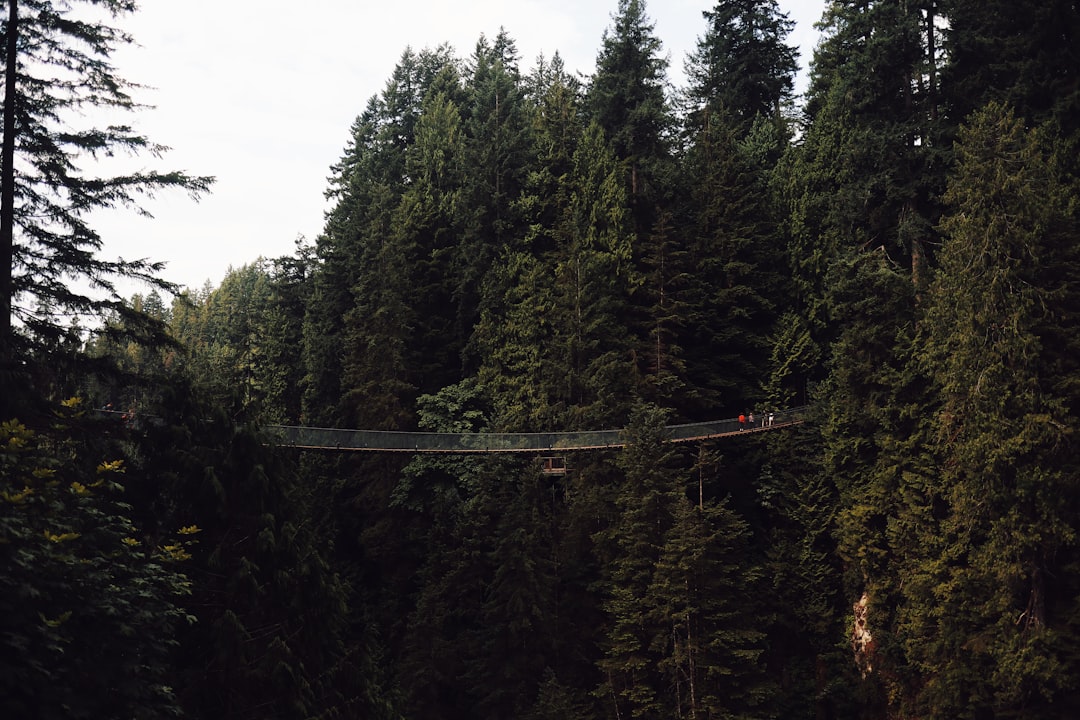
Capilano Suspension Bridge
12 km away from Horseshoe Bay Ferry Terminal
Read the Travel guide View on Google Maps

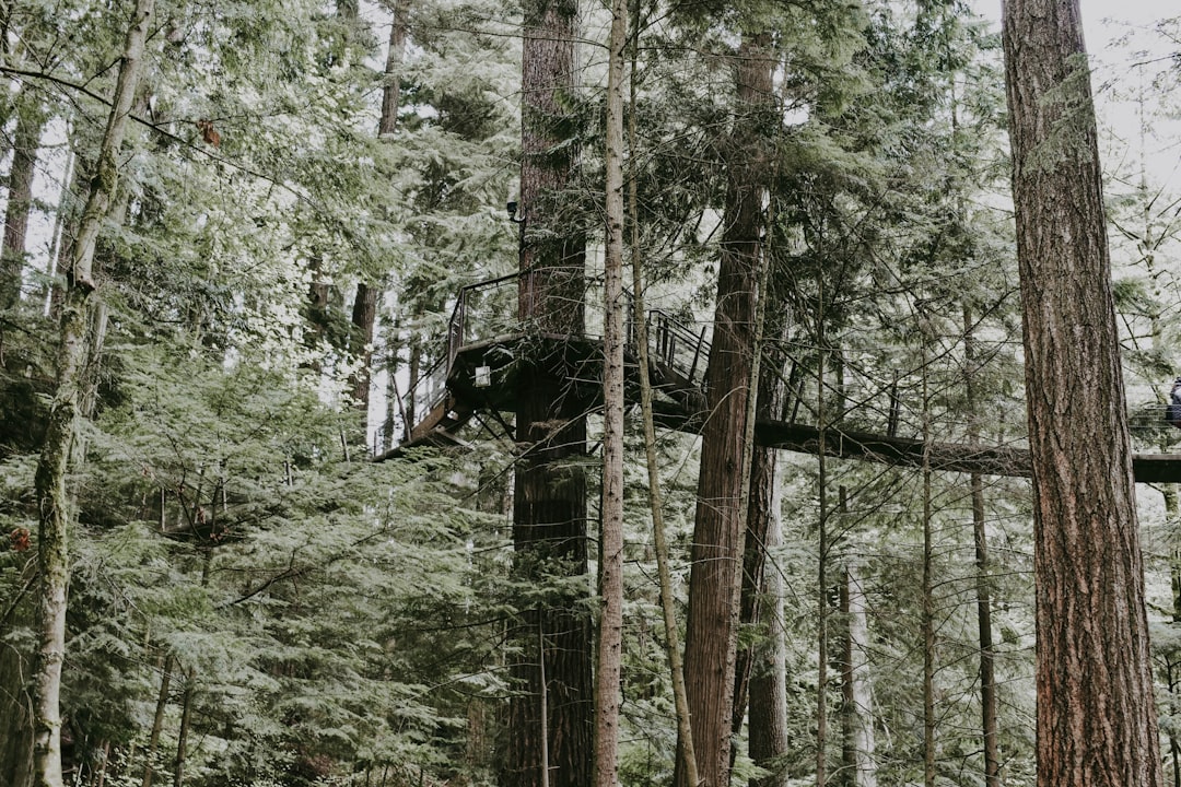
Capilano Suspension Bridge Park
12 km away from Horseshoe Bay Ferry Terminal
Read the Travel guide View on Google Maps
Capilano Road
12 km away from Horseshoe Bay Ferry Terminal
Read the Travel guide View on Google Maps
Cleveland Dam
12 km away from Horseshoe Bay Ferry Terminal
Read the Travel guide View on Google Maps
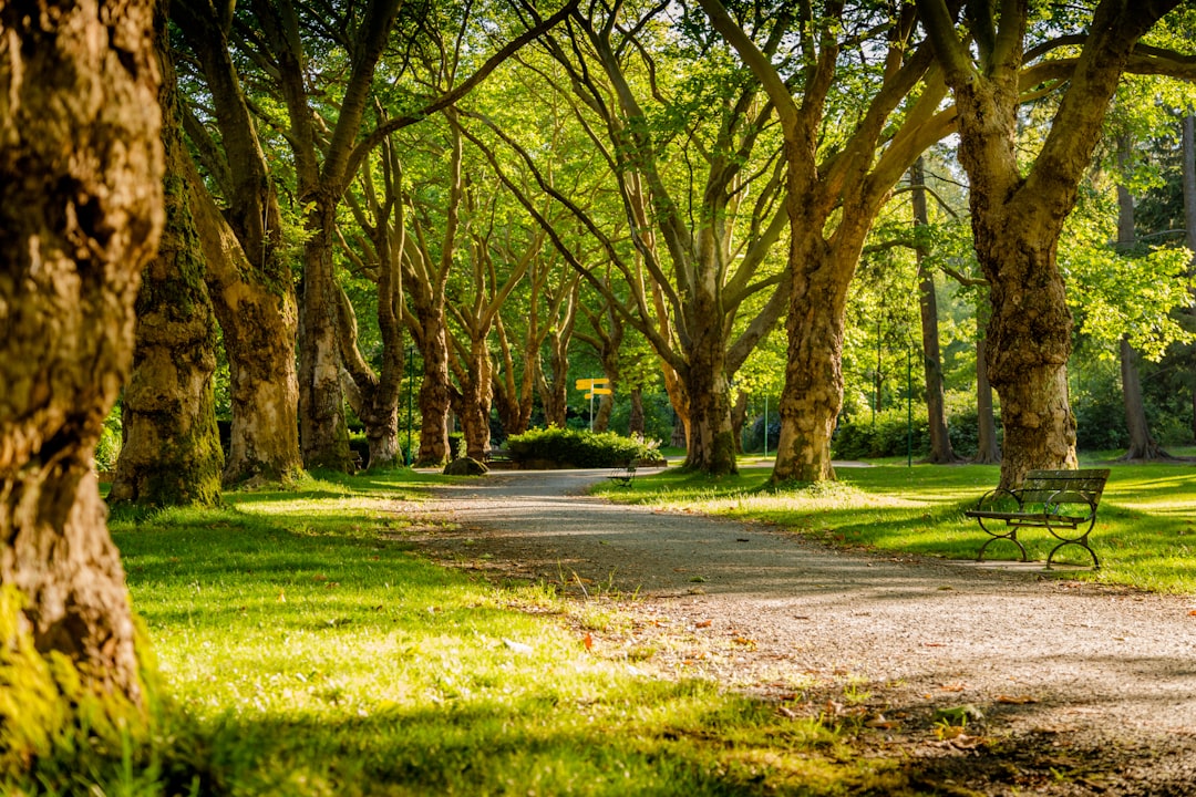
Stanley Park
12 km away from Horseshoe Bay Ferry Terminal
Read the Travel guide View on Google Maps
Capilano River Hatchery
12 km away from Horseshoe Bay Ferry Terminal
Read the Travel guide View on Google Maps

UBC Wreck Beach
12 km away from Horseshoe Bay Ferry Terminal
Read the Travel guide View on Google Maps
Capilano River
12 km away from Horseshoe Bay Ferry Terminal
Read the Travel guide View on Google Maps
Stanley Park Drive
13 km away from Horseshoe Bay Ferry Terminal
Read the Travel guide View on Google Maps
The University of British Columbia
13 km away from Horseshoe Bay Ferry Terminal
Read the Travel guide View on Google Maps
Grouse Mountain
13 km away from Horseshoe Bay Ferry Terminal
Read the Travel guide View on Google Maps
Pacific Spirit Regional Park
14 km away from Horseshoe Bay Ferry Terminal
Read the Travel guide View on Google Maps
North Vancouver
15 km away from Horseshoe Bay Ferry Terminal
Read the Travel guide View on Google Maps
Vancouver
15 km away from Horseshoe Bay Ferry Terminal
Read the Travel guide View on Google Maps


Soames Point
16 km away from Horseshoe Bay Ferry Terminal
Read the Travel guide View on Google Maps
Book your Travel Experience in Horseshoe Bay Ferry Terminal
Discover the best tours and activities in Horseshoe Bay Ferry Terminal and book your travel experience today with our booking partners
Learn More about Horseshoe Bay Ferry Terminal
Find Hotels in Horseshoe Bay Ferry Terminal
Discover the best hotels around Horseshoe Bay Ferry Terminal, Canada and book your stay today with our booking partner booking.com